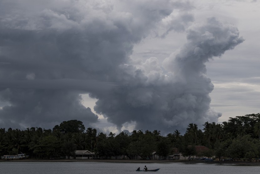
REPUBLIKA.CO.ID, BANDARLAMPUNG -- Mount Anak Krakatau seismically erupted 13 times in the course of six hours - from Monday at 6 p.m. until midnight. The mount is located in the Sunda Strait between the islands of Java and Sumatra.
Mount Anak Krakatau experienced seismic eruptions for 13 times, with amplitude of 16-30 mm and duration of 52 to 121 seconds, Windi Cahya Untung, officer of the Mount Anak Krakatau observation post of the Center of Volcanology and Geology Disaster Mitigation (PVMBG), stated here, Monday.
From noon to 6 p.m. on Monday, 15 seismic eruptions also occurred, with amplitude of 16-24 mm and duration of 45 to 75 seconds. Besides, there were four seismic gusts with amplitude of 11 to 18 mm and duration of 40 to 66 seconds.
The weather over the volcano was bright and cloudy. Mild wind blew toward east, with air temperature in the range of 30-32 degree Celsius and air humidity at 59-70 percent, as well as air pressure at 0-0 mmHg.
Based on the monitoring from the Sertung station in the Sunda Strait, South Lampung, the volcanic activities of Mount Anak Krakatau were at alert level 3, and the authorities have announced a danger zone in the radius of five kilometers from the mountain's crater, wherein no one is allowed to approach or enter.
Mount Anak Krakatau's height has decreased from 338 meters above sea level (mdpl) to 110 mdpl following a flank collapse that triggered a tsunami in the evening of December 22, 2018. A large part of the southern flank of the volcano slid into the ocean on that evening, according to images from the European Space Agency's Sentinel-1 satellite.
Some 20 minutes after the flank collapse, a wall of water roared ashore, sweeping up everything in its path, including boats, tables, and people along coastal regions facing Sunda Strait, where Mount Anak Krakatau is located. Death toll from the Sunda Strait tsunami reached 430. At least 1,495 people were injured, 159 people went missing, and 21,991 others displaced.


