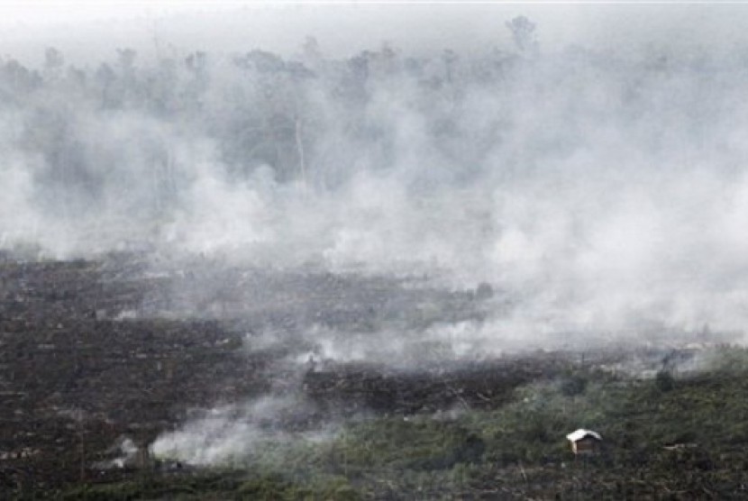
REPUBLIKA.CO.ID, PEKANBARU - National Oceanic and Atmospheric Administration (NOAA) 18, a satellite operated by Singapore, 48 hot spots in mainland of Sumatra. About 27 spots are scattered in Riau.
"The number increases compared to previous days. There were only 14 hot spots on Monday in Riau or 40 spots in Sumatra," official staff of National Disaster Management Agency (BNPB), Agus Wibowo said on Wednesday.
The 27 hot spots are spread across six districts in Riau, namely nine points in Pelalawan, six points in Meranti and five points in Siak. Next, there are four spots in Indragiri Hilir, two points in Bengkalis and one point in Indragiri Hulu. Hot spot is geothermal temperature locating in land of forest fires.
NOAA 18 has also detected 332 hot spots in Sumatra or 224 spots in Riau. On March 1, there were 174 hot spots in Sumatra and dominated by Riau with 129 points, while on March 2, NOAA recorded 70 hot spots in Sumatra and Riau still dominating with 54 points. The figure dropped on March 3 that there were 40 hot spots in Sumatra and only 14 spots are found in Riau.


