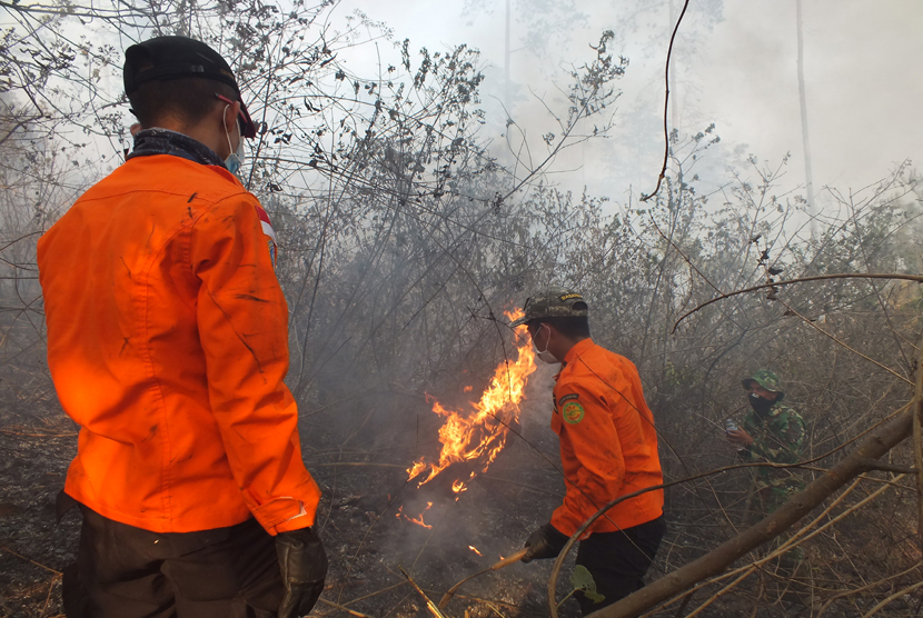
REPUBLIKA.CO.ID, PADANG -- The Terra and Aqua satellites detected some 200 hotspots of forest and plantation fires across Sumatra Island on Tuesday at 6 a.m. local time.
"Some 165 hotspots are found in South Sumatra, 15 in the Bangka Belitung Islands Province, 12 in Lampung, and seven in Jambi," Head of the Koto Tabang meteorology office Budi Satria stated here, Tuesday.
The number of hotspots on Sumatra Island increased sharply from only seven hotspots on Monday (Nov. 2), he noted.
He, however, forecast that the impacts of the fires would not be mitigated by rains experienced in the past few days.
In the meantime, the number of hotspots in Indonesia has, in general, decreased significantly over the last few days.
"The number of hotspots has decreased significantly," Sutopo Purwo Nugroho, a spokesman of the National Disaster Mitigation Agency (BNPB), remarked recently.
According to Nugroho, the Terra and Aqua satellites detected 402 hotspots in the country on Saturday (October 31).
"The number of hotspots has dropped to 402 from 2,218 detected last Saturday," he pointed out.
In addition, the rains received in the past couple of days have improved the air quality and visibility in Sumatra and Kalimantan.
"The visibility in Padang, West Sumatra, was 4 kilometers, while it was 7 kilometers in Pekanbaru, 2.8 kilometers in Jambi, 800 meters in Palembang, 2 kilometers in Pontianak, 1.5 kilometers in Palangkaraya, and 6 kilometers in Banjarmasin," he stated.
The BNPB had seeded 284.9 tons of salt (NaCl) in the skies above Sumatra and Kalimantan islands to produce artificial rain as part of the efforts to extinguish forest and land fires in the two regions.


